Digital Mapping | RF Planning | GIS | Location Intelligence
MapMySignal delivers digital mapping, RF planning, GIS, and location-intelligence solutions for telecom, transportation, infrastructure, and mobility. Our services include 2D/2.5D/3D maps, RF maps, DTM, clutter, cadastral, AVLS, navigation, POI, and GIS solutions, along with RF planning support, training, and technical services.
Accurate data. Reliable solutions. Global delivery.
Tower C Level 6 Bhutani Alphathum Sector 90 Noida, Uttar Pradesh 201305
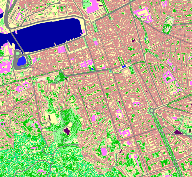
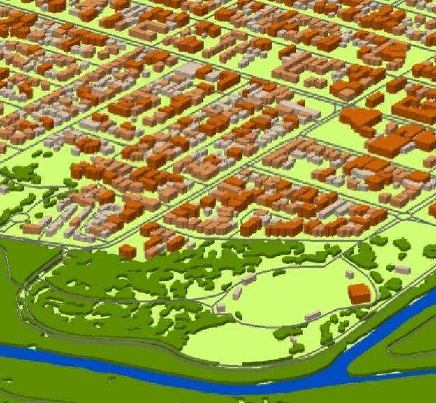
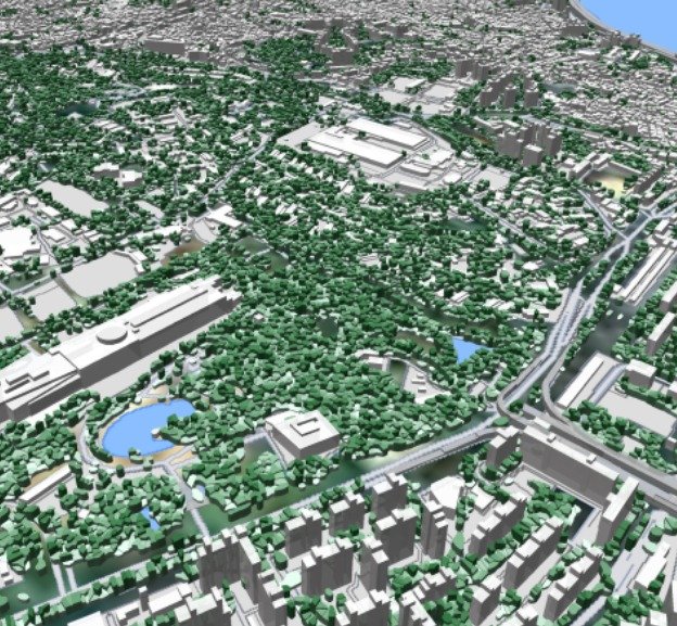
Precision-engineered digital maps for telecom RF planning. MapMySignal RF maps provide the geospatial foundation required for coverage analysis, capacity planning, spectrum management and network optimization. Depending on project requirements, datasets can include terrain elevation, clutter/land-use, building heights, roads, railways, boundaries, POIs and other vector layers.
2D RF Maps
2.5D RF Maps
3D RF Maps
Land-use/clutter, roads, boundaries, POIs and base vector layers.
DTM, clutter, clutter heights, vectors and text labels.
Building footprints and per-building height information for 3D analysis.